About Land Surveying at
R Keisling and Associates
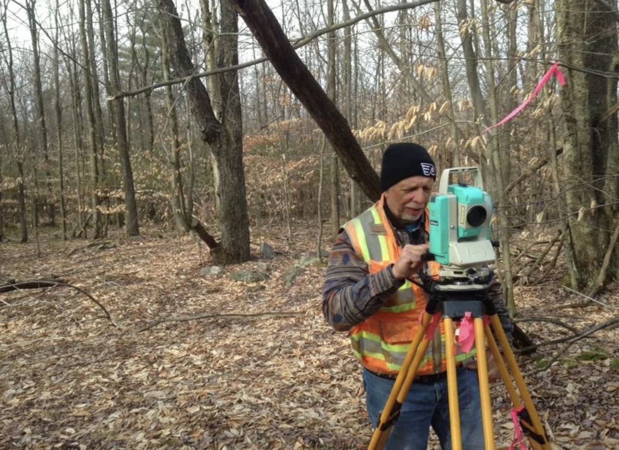
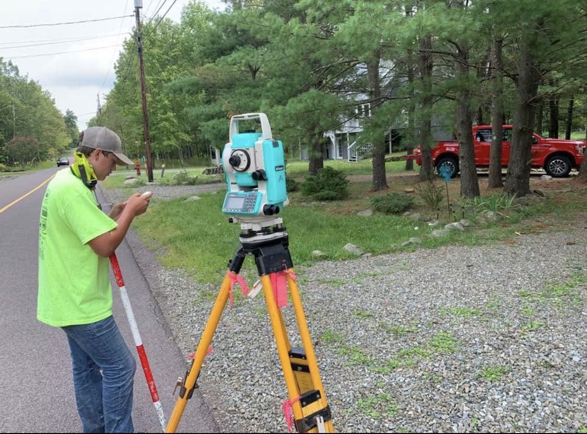
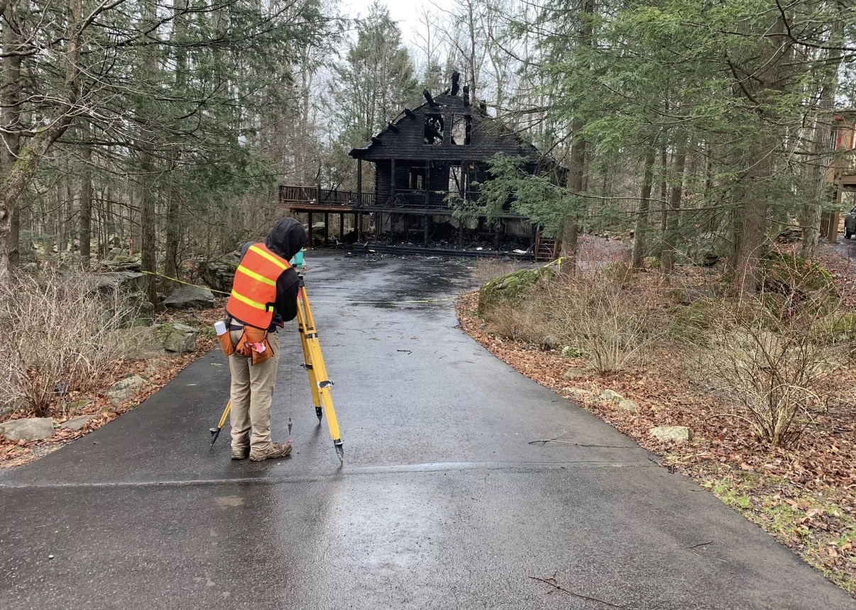
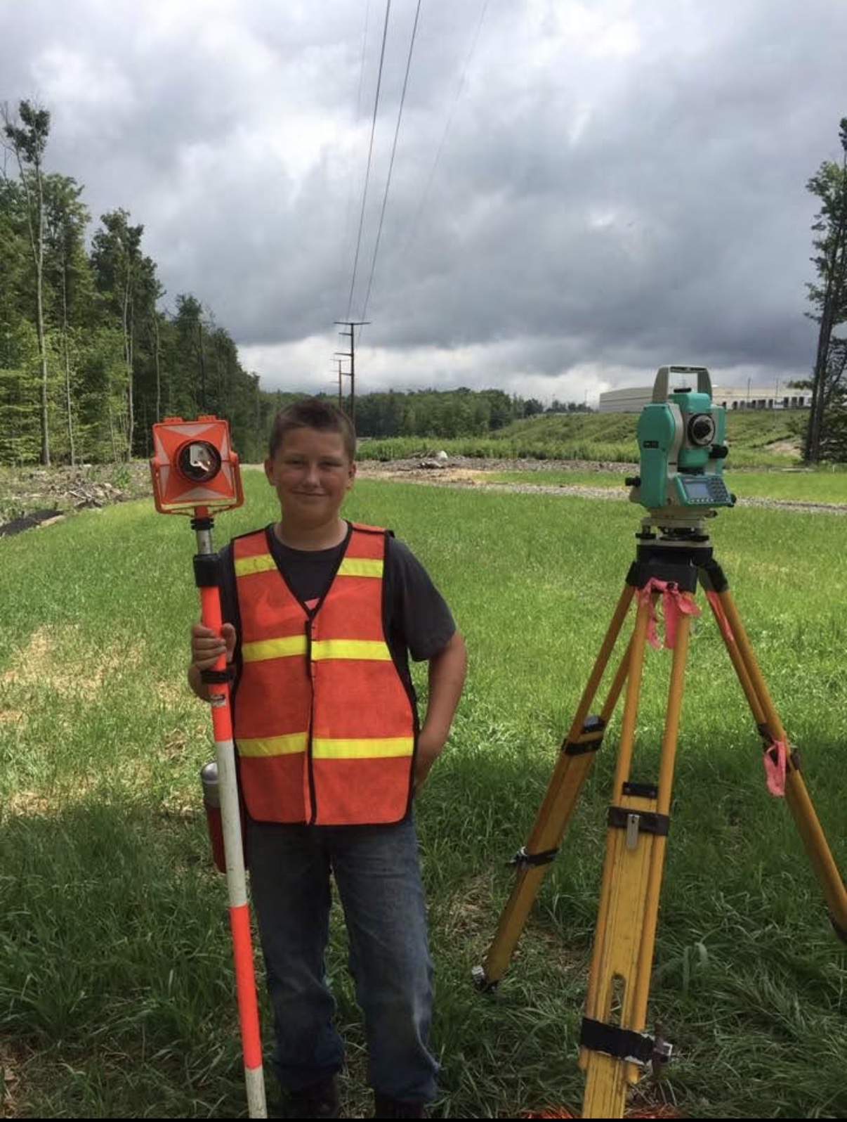
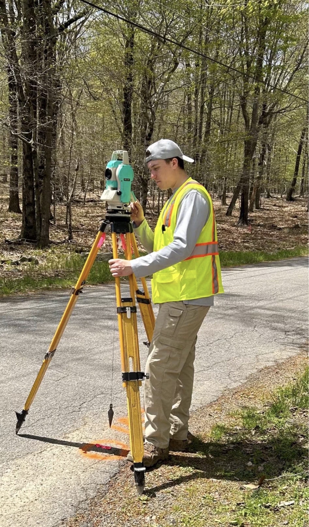
Land surveying is the precise science of determining the terrestrial or three-dimensional position of points and the distances and angles between them. At R Keisling and Associates, we understand that precision is the foundation of every successful project. Whether defining property boundaries or mapping topography, accuracy ensures legal certainty and structural integrity.

Proudly serving our community since 1975, our firm brings nearly five decades of experience and trusted expertise to every survey we perform.
Surveying Services We Provide
- Boundary & Property Surveys
- Subdivision Surveys
- Lot Consolidation & Lot Line Adjustments
- Topographic Surveys
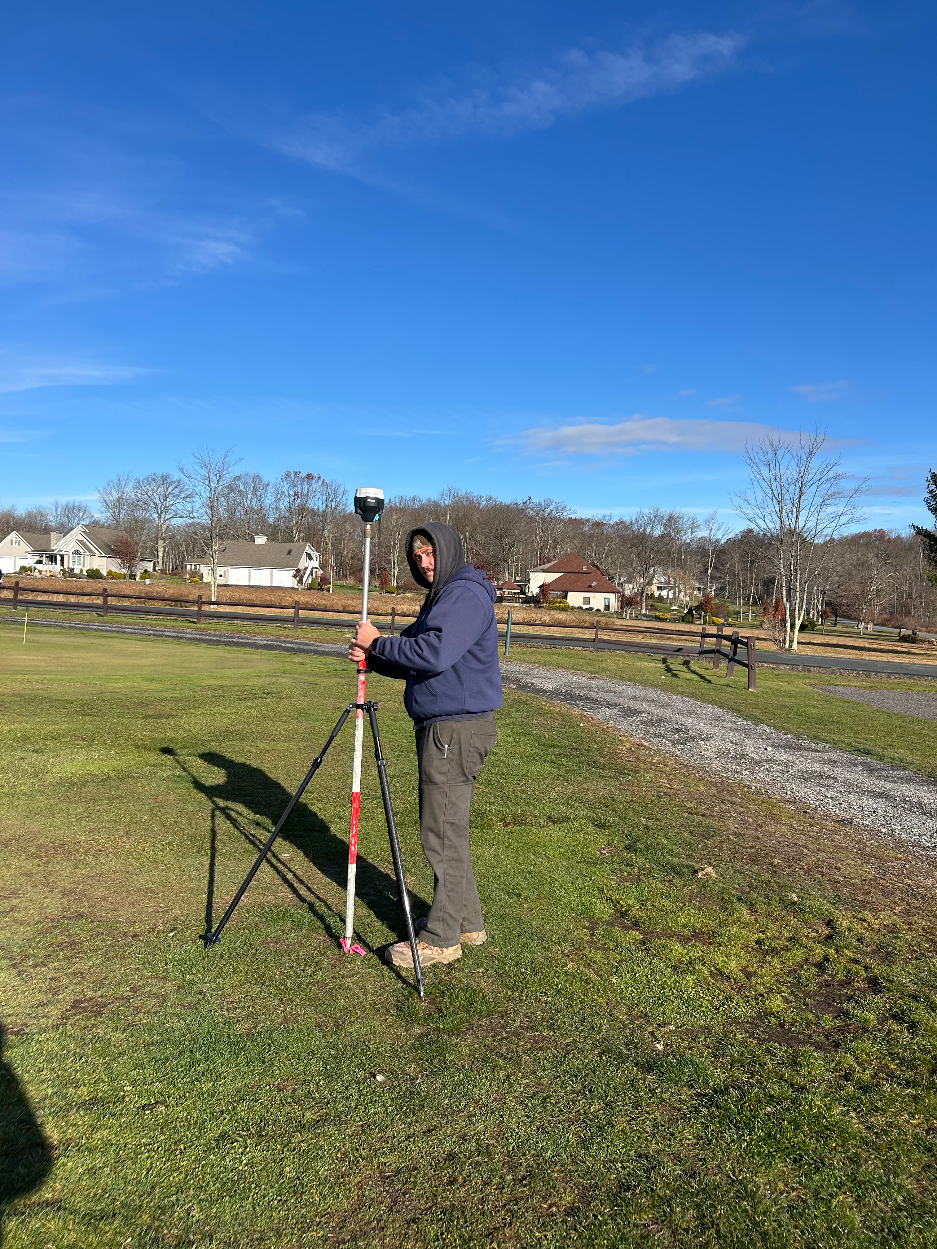
- GPS & GNSS Surveying
Over 50 years of professional land surveying experience.
Regions of Operation
We provide professional land surveying services across Northeast Pennsylvania, ensuring boundary precision and topographic accuracy for diverse residential and commercial projects.
Lackawanna County
Scranton, Dunmore, Carbondale
Wayne County
Honesdale, Hawley, Waymart
Pike County
Milford, Matamoras, Dingmans Ferry
Susquehanna County
Montrose, Susquehanna, Forest City
Mapping Pennsylvania
Our team travels up to 100 miles from Scranton to service residential and commercial projects.